
(Photo courtesy of Wikipedia)
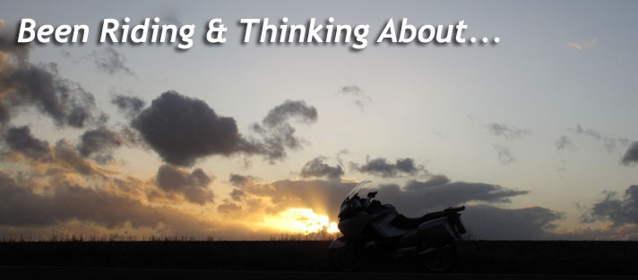
This morning I "flew a mission" on the Beemer to Longview, WA, the northern-most city in my sales territory. Longview is situated on the Columbia River about halfway between Portland and the ocean. It's on the confluence of the Columbia and Cowlitz Rivers. Mt. St. Helens is about 40 miles to the east. I hope to do a post after riding to Mt. St. Helens but that will have to wait until the spring.

(Marquam Bridge. Photo courtesy of Wikipedia)
Thick cloud cover was on order for the first half of the day and the temperature was in the mid 50's this morning for the 60 mile trip north on I-5. There was a brief sun-break while crossing the upper deck of the Marquam Bridge in Portland, but the sun wouldn't make it's full appearance until after 2 pm.

The Columbia winding out to sea. I wonder what it looked like for Lewis & Clark.

Here's the library which has a an old park with large trees in the square across the street. If you look closely you'll see a small rectangular sign hanging almost directly over the bike. It says, "Nutty Narrows Bridge". This is the street crossing for the park's squirrels. I forgot to get a closer shot of it.


Back home in Oregon here's a lake along Hwy 30 which runs along the Columbia. This is a natural habitat with interesting wildlife. Should've had the 30D and long lens. Next time.

Almost home and realizing that the Beemer will probably spend tomorrow in the garage. Rain is in the forecast all day.
Stay tuned for a visit to the Northwest section of Portland.


Mike:
ReplyDeleteWhat a lovely day for a ride on Company time. You and Dan (Irondad) have it made. Last year on the way to Stevenson I rode down NF25, and took NF99 to the roadblock where the road caved in so I couldn't get to the Windy Ridge viewpoint. I believe NF99 was finally repaired enough to open this year.
Thank you for the info on Longview. We usually have a rest break somewhere and head over to Astoria. Last year we took the north route on Hwy 4
bob
bobskoot: wet coast scootin
It's probably just me but Longview seems like a "dirty" town. I've been up there off and on. Also worked on the Juvenile Detention Facility. Your photos made it look nice. Guess I'll just have to take a ride and look again!
ReplyDeleteBob:
ReplyDeleteI've just been looking on Google for NF25 and NF99 and can't find exactly where they are. It sounds like they're east of Mt. St. Helens which would be a great place to ride. It must have been beautiful last year.
If you're coming from the north, Longview is a good transition point for going to the coast and avoiding Portland. I've heard Hwy 4 is not as good as Hwy 30 is on the Oregon side though, especially if you happen to get behind a motorhome or two.
Dan:
I know what you mean about Longview. The west side of the main road, 15th Ave., is better than the east side where the Juvenile Facility is located. Back in the day about 20 years ago I use to be a salesman in the restaurant industry and go up there one day each week. Next time you're up there check out the west side with the older homes and big trees.
I figure any town that has a safe street crossing for their squirrels can't be all that bad.
Mike, nice post. I usually just pass through Longview on the way to Portland, and see the more industrial side of this town. Thanks for showing some of the beauty of this area!
ReplyDeleteMike:
ReplyDeleteNF25 south to Carson (Wind River) is probably the BEST M/C road in WA state. Many switchbacks upon switchbacks back to back . It is 80 miles of continuous twisties and little traffic.
From Longview take I-5 to exit 68, then east on Hwy 12 to Randle (gas up in Morton/Chevron first, as the guy at the gas station in Randle gave me attitude last year, claimed I didn't pay for my gas) . NF90 is the cut off to the Windy Ridge viewpoint at Mount St Helens on the East side.
This will probably be my route next July on the way to Redmond
bob
bobskoot: wet coast scootin
Lance:
ReplyDeleteThanks for reading this. The east side of town where I-5 runs through is not the best Longview has to offer. Next time you come to Portland if you have time, try going through town and cross over the Longview Bridge (Lewis & Clark) and take Hwy 30 into Portland. It's more rural and scenic but you enter Portland through it's industrial area. Close your eyes through there...or maybe not.
Bob:
Thank you for the info including where to get gas, or not. NF25 sounds fun - I'll have to try it sometime when the weather gets better.